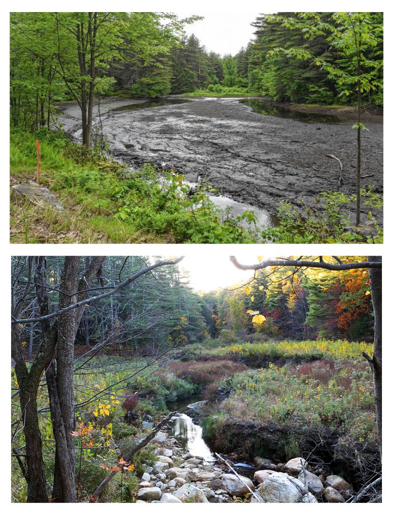
Restoration of a Neversink Tributary
Final Completion:
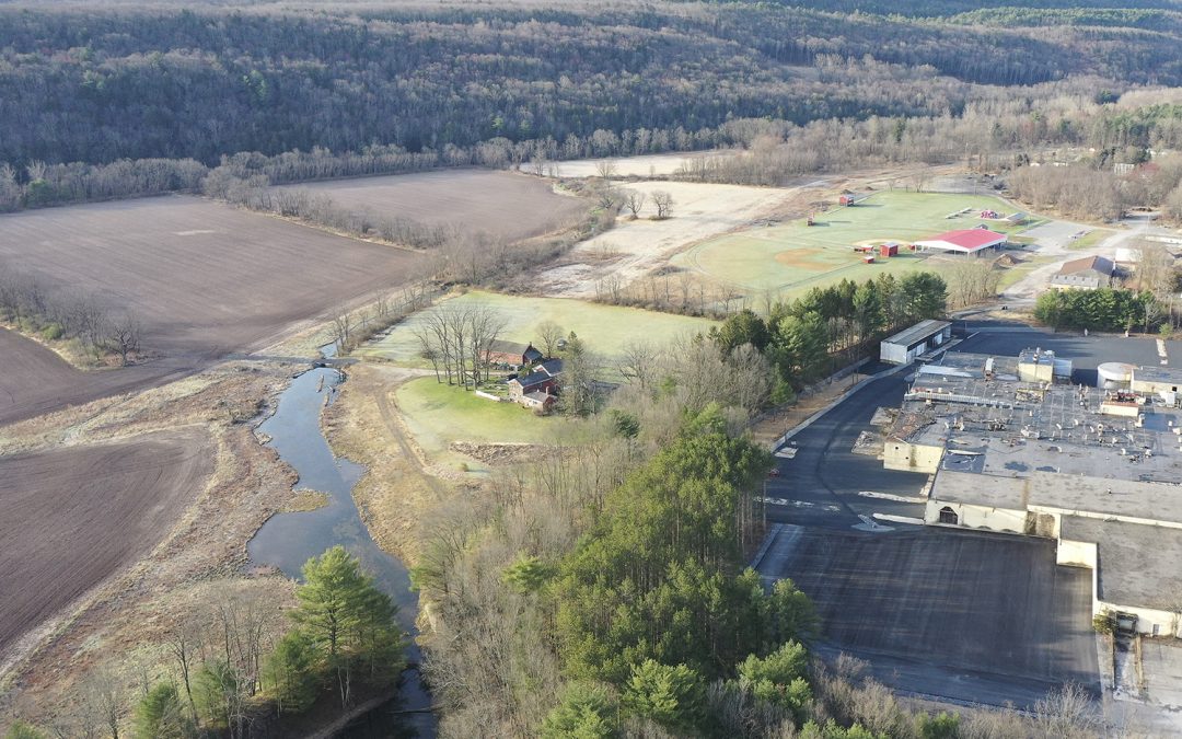
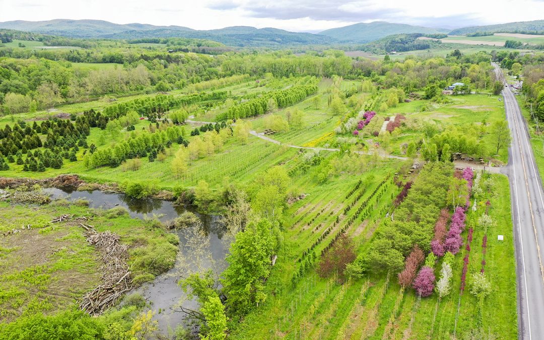
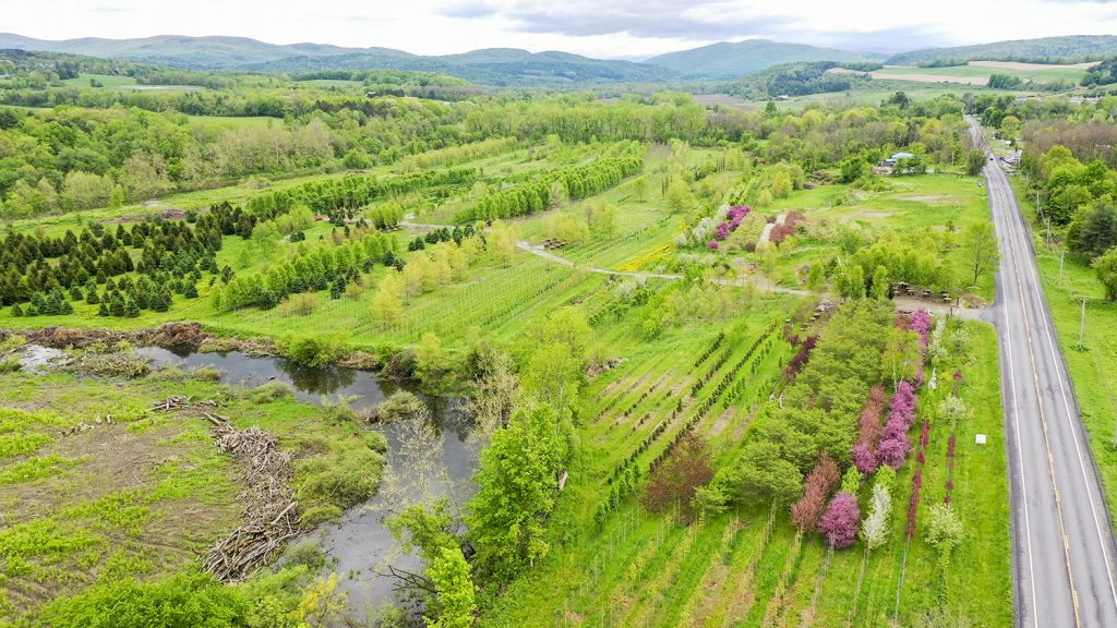
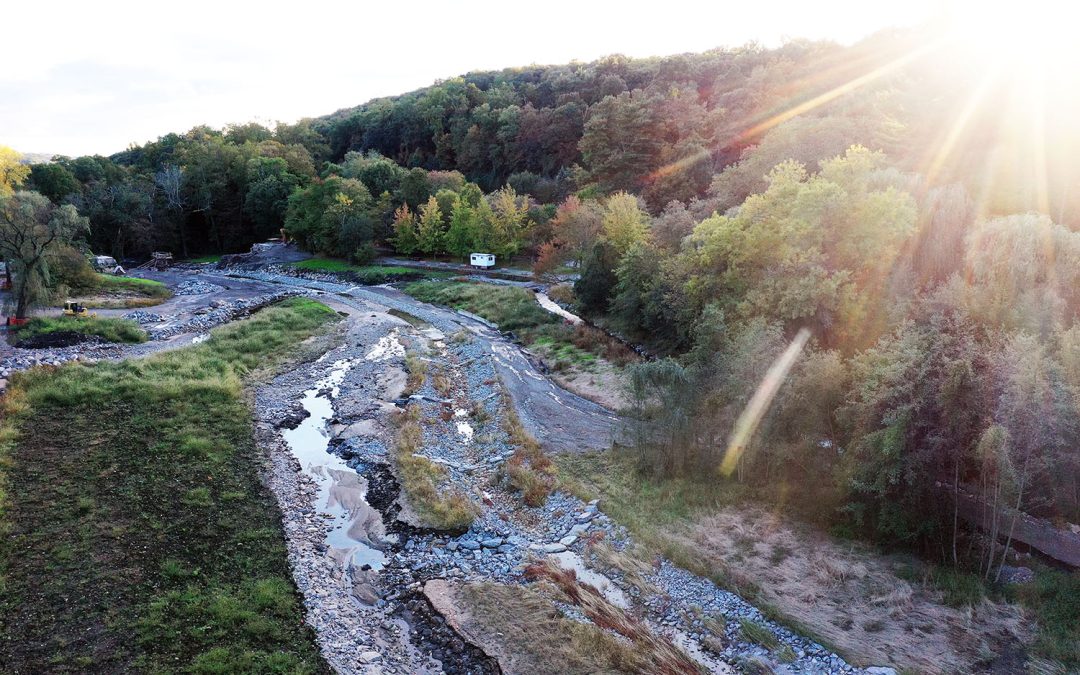
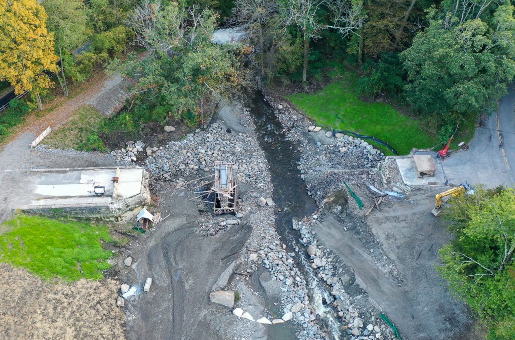
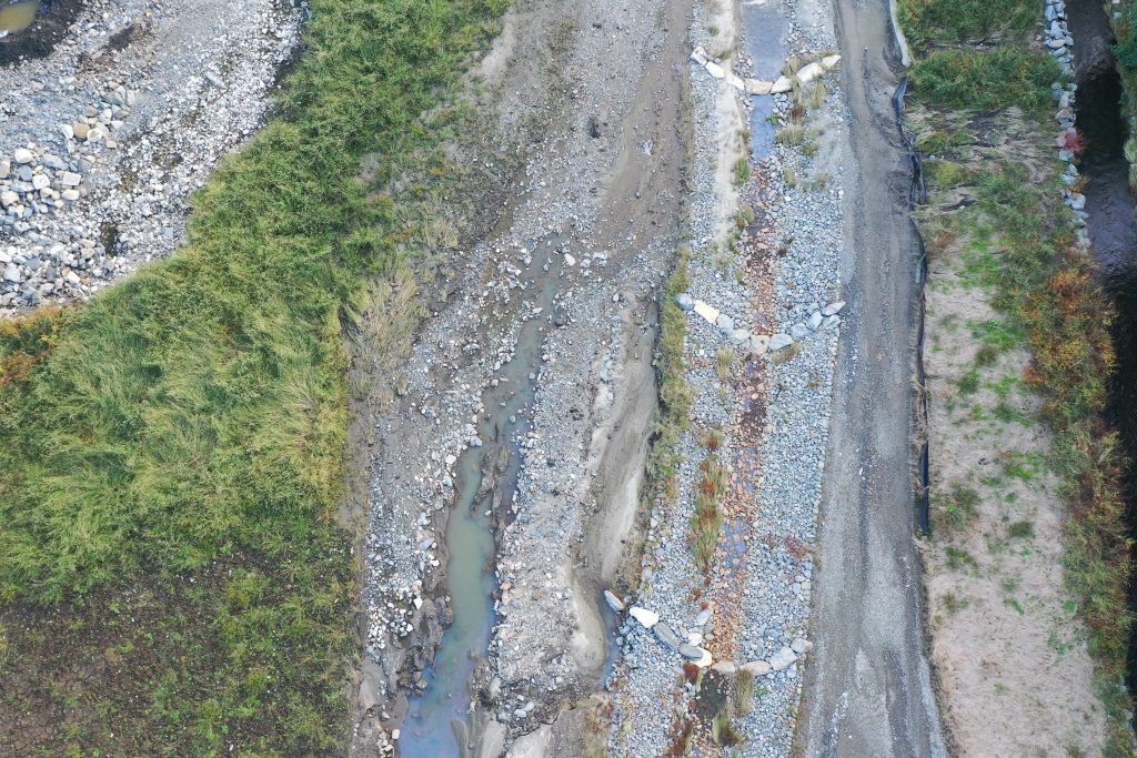
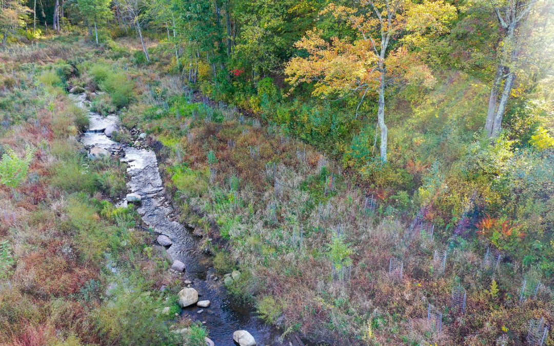
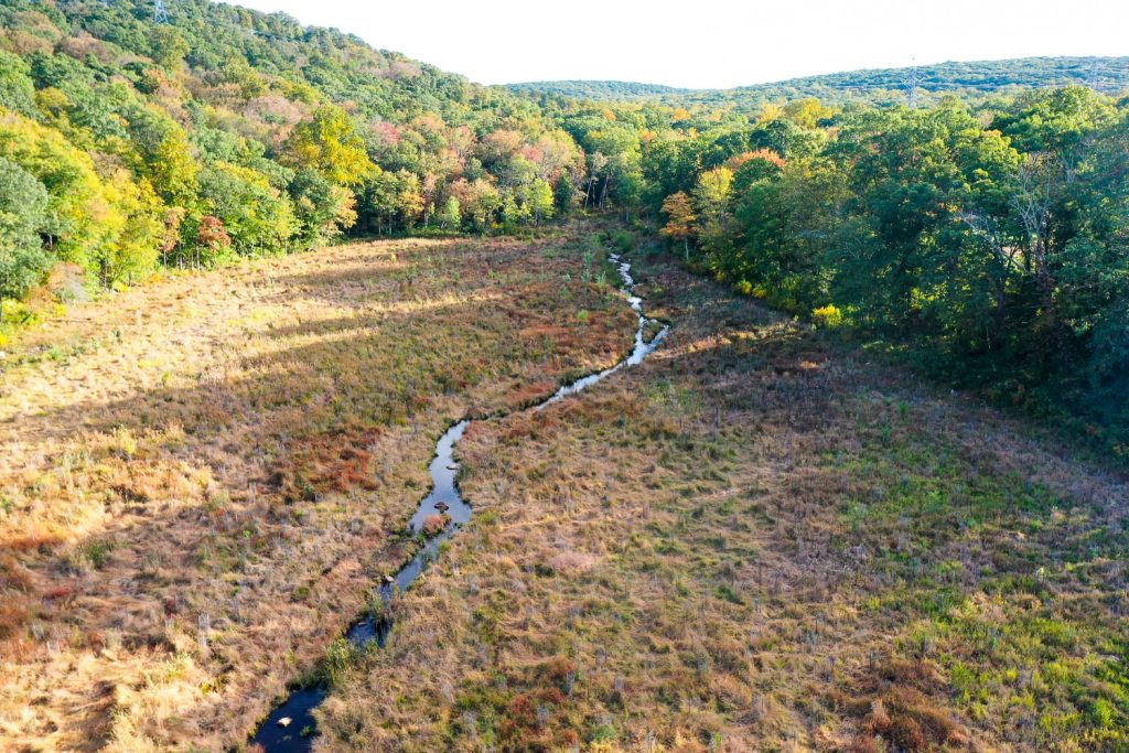
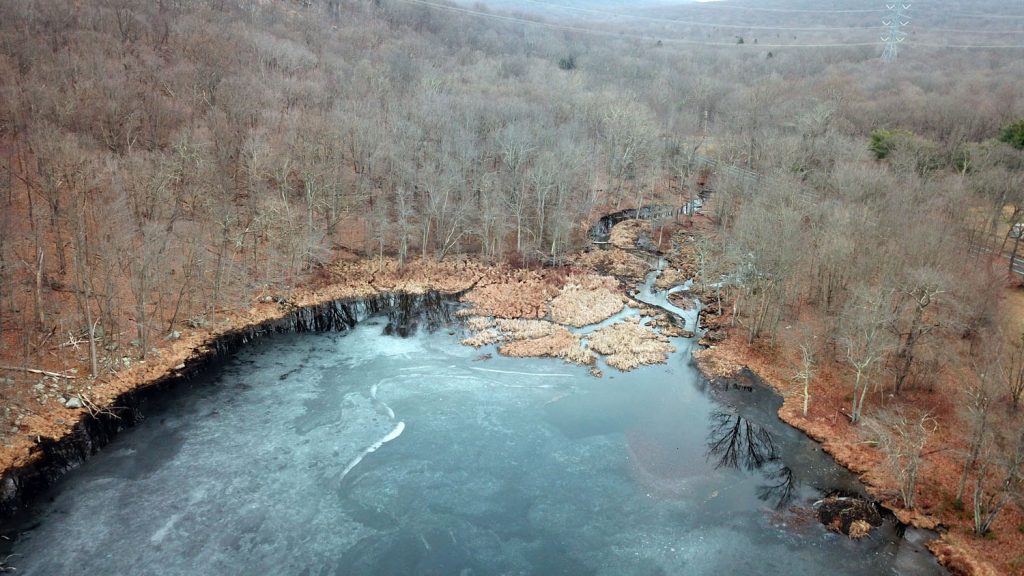
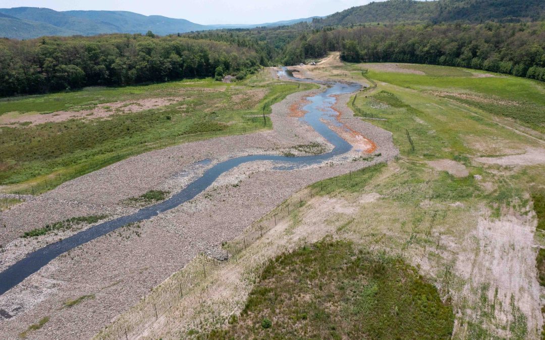
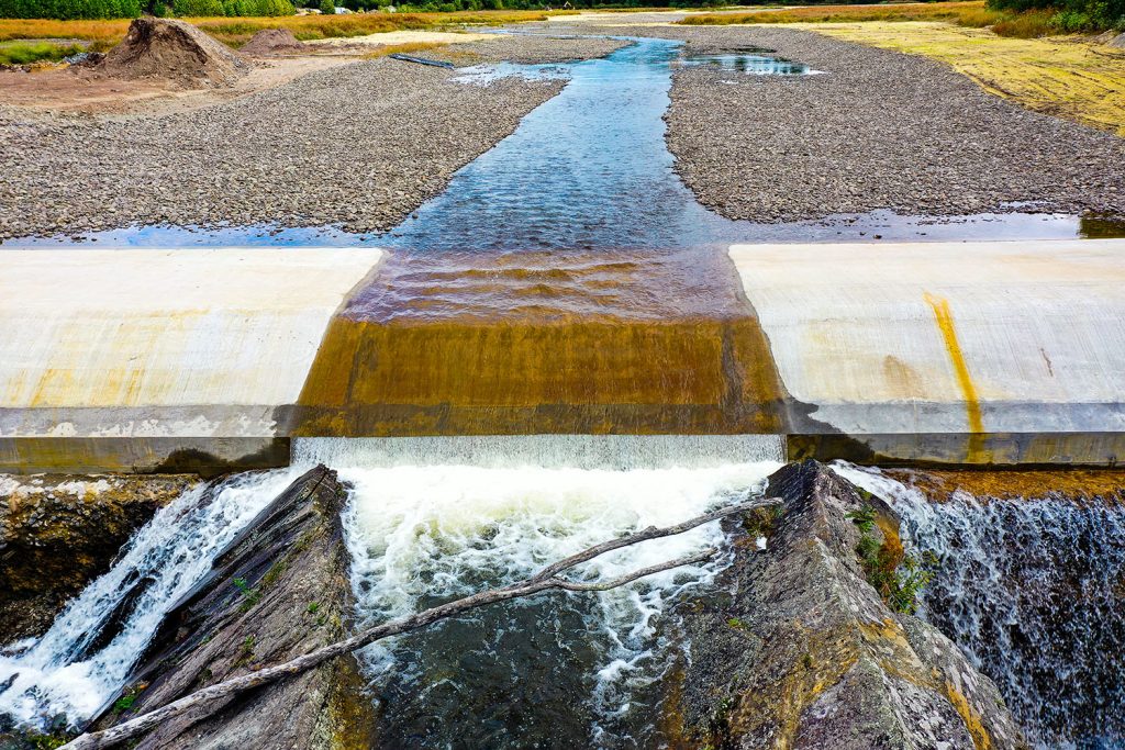
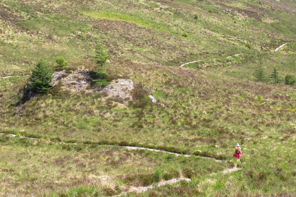
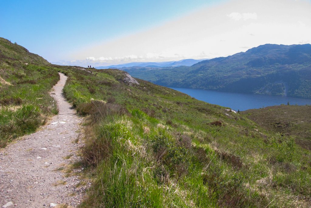
Neversink River Tributary Restoration at C&D Power Systems Site
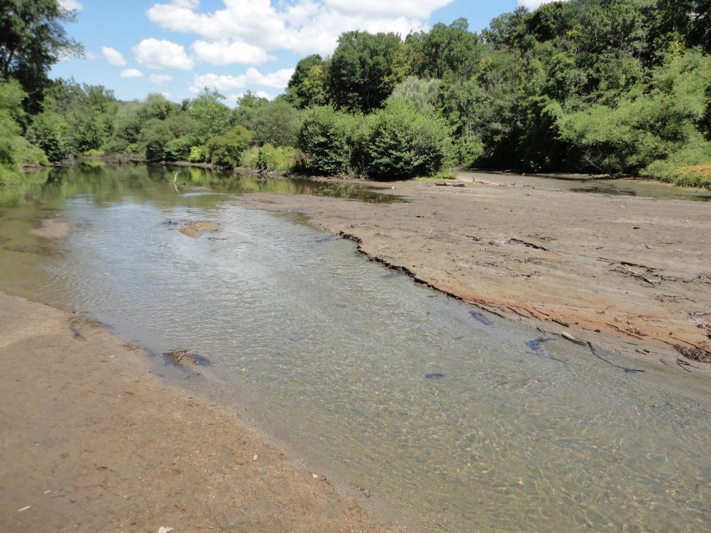
Many months of remediation were required to restore this tributary of the tumbling Neversink River in Huguenot, New York.
Project: C&D Power Systems Site Remediation
Location: Huguenot, New York
Client: LAND Remediation, Inc.
Why it Matters:
Industrial wastewater from a battery manufacturer and, before that, a black-and-white television tube manufacturer, was discharged into an onsite lagoon at this Superfund site in Huguenot, New York.
For years, disposed PCB, lead, fluoride, barium, and cadmium contamination found its way out of the lagoon and into an adjacent tributary of the beautiful Neversink River.
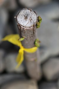
After months of cleanup work at the abandoned factory site on NY 209, where the contaminated soil was removed and disposed of, the tributary’s sediment has also been excavated and replaced. The floodplain has been revegetated with live stakes and saplings.
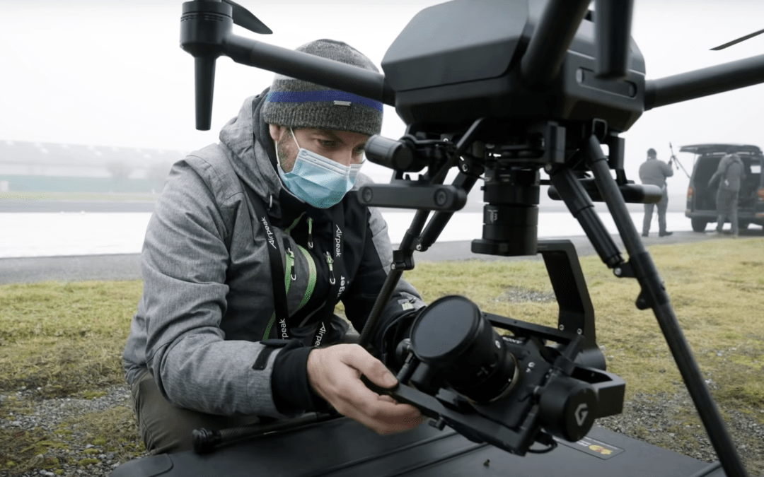
AESP provided bi-weekly aerial and ground photography and videography services over the life of this project.
______________
We are experienced Federal Contractors, as both prime and subcontractors, and accept government credit cards and micropurchase orders. – Suzanne
- CERTIFIED: SBA-certified EDWOSB, New York State- and City-certified WBE, and Port Authority certified DBE. We’re also WBE- and DBE-certified in states throughout the Northeast.
- REGISTERED: SAM & ORCA. Experienced in Federal Government contracting and subcontracting.
- WILDLAND FIREFIGHTING CERTIFICATES S-130/190, L-180
- FAA PART 107 Since 2017
- OSHA 30 AND HAZWOP certified
- DUNS: 839898728.
- FEIN: 84-2603642
- We accept all government agency purchase orders and credit cards.
SERVING ENVIRONMENTAL SERVICE INDUSTRIES, ENGINEERS AND AGENCIES BY USING PHOTOGRAPHY AS A FORCE FOR GOOD.


Recent Comments