New Project: Fire Resiliency in Two Idaho National Forests
New Project:
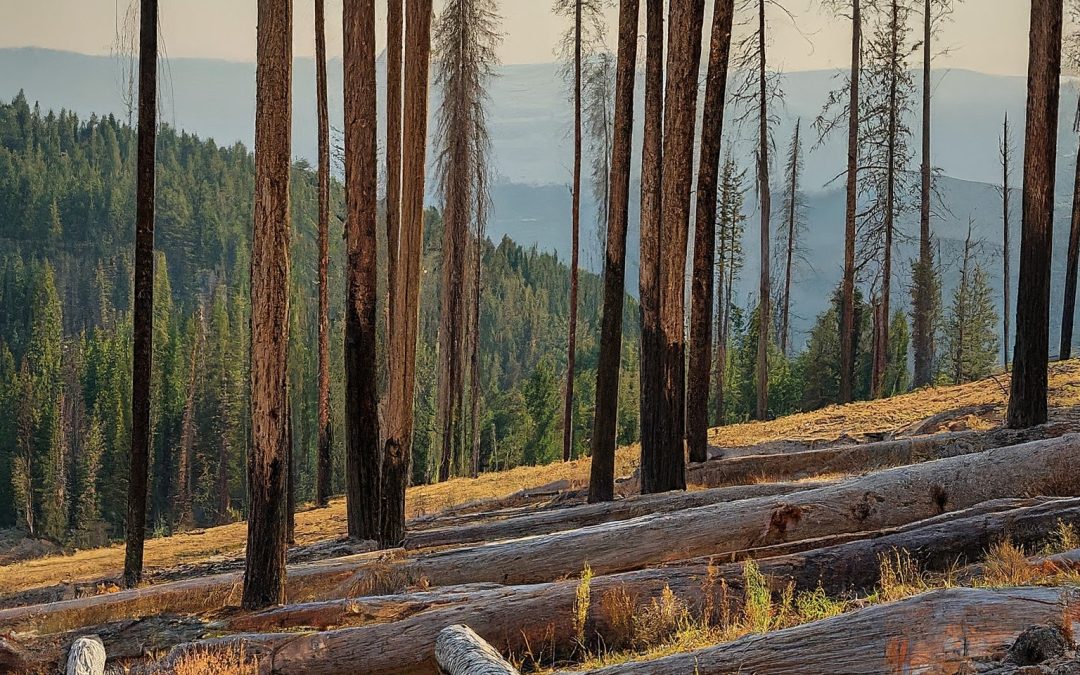
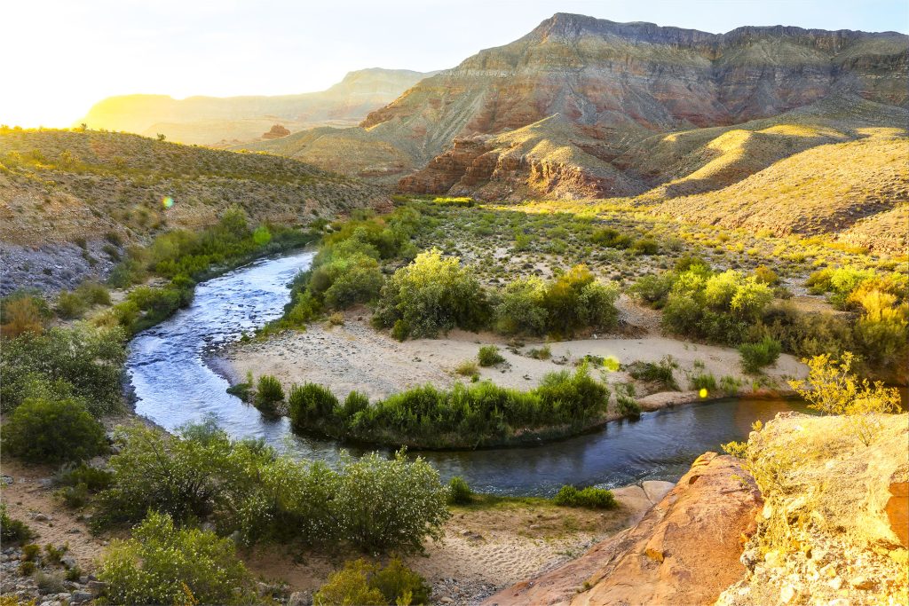
Southwest Idaho Wildfire Crisis Landscape Project
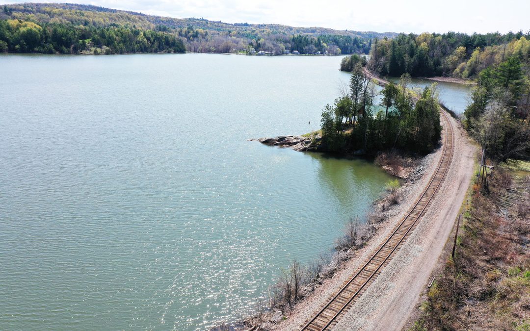
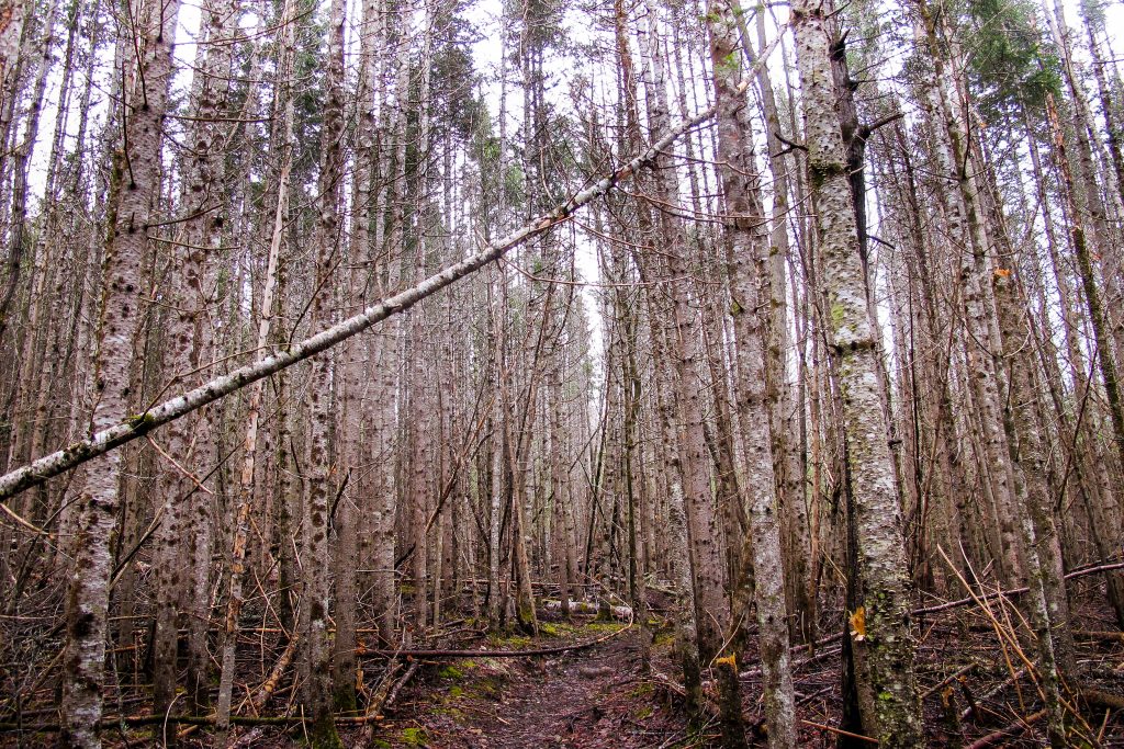
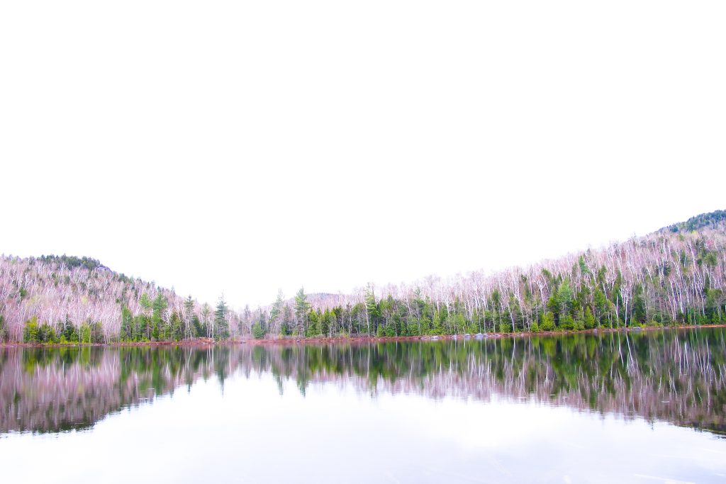
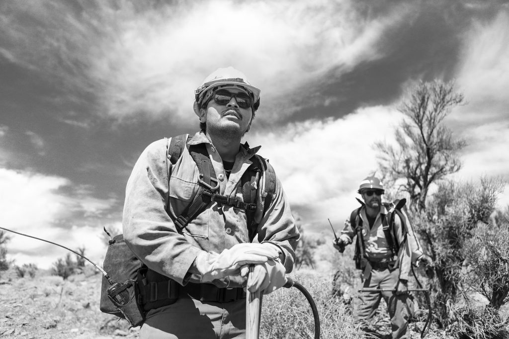
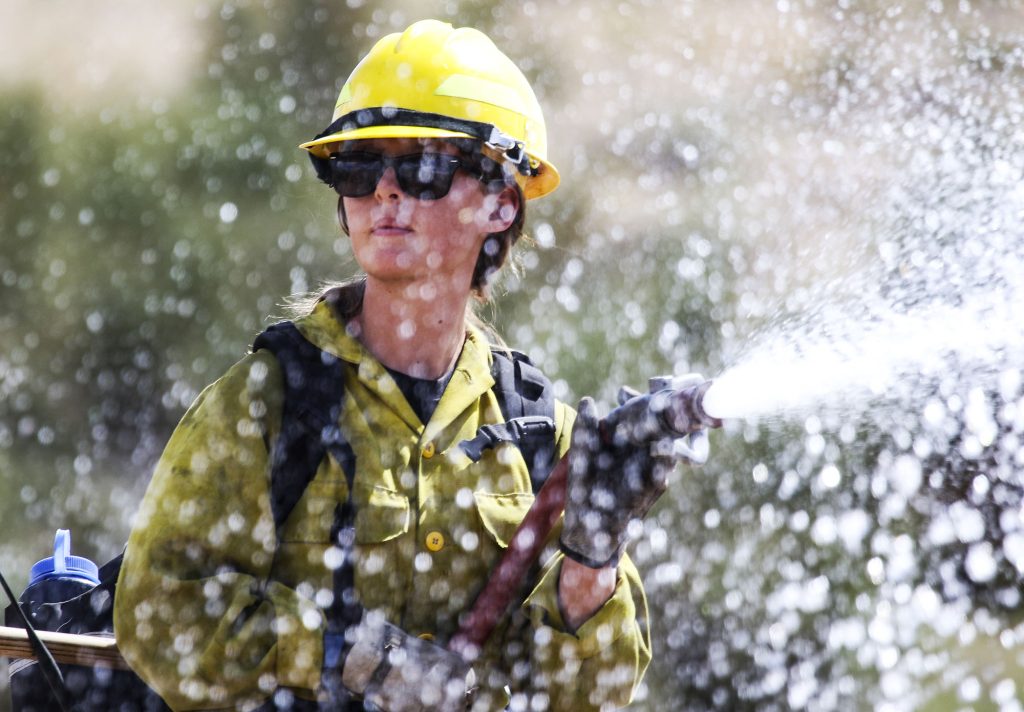
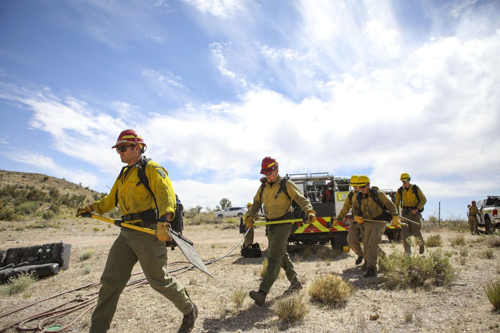
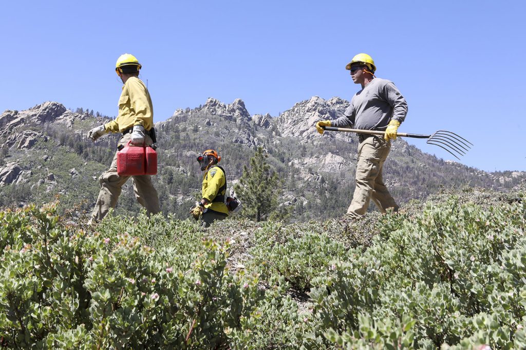
For the USDA Forest Service, documentation photography of the landscapes of Payette and Boise National Forests in Idaho.
Project: Southwest Idaho Landscape Photo Documentation
Location: Boise National Forest and Payette National Forest
Duration: 2 years
Client: USDA Forest Service (Federal)
Why it Matters:
The communities and forests of Southwest Idaho are at great risk to experience catastrophic wildfires.
The Southwest Idaho Landscape Project will restore health and resiliency to the Boise and Payette National Forests, reducing the risk of catastrophic and undesirable wildfire while increasing the resiliency of the landscape to climate change and other stressors.
For this contract, AESP will be photographing the Forest Service’s work in the two national forests, over two years.
More information about the Southwest Idaho Landscape project can be found in this storymap.
______________
We are experienced Federal Contractors, as both prime and subcontractors, and accept government credit cards and micropurchase orders. – Suzanne
- CERTIFIED: SBA-certified EDWOSB, New York State- and City-certified WBE, and Port Authority certified DBE. We’re also WBE- and DBE-certified in states throughout the Northeast.
- REGISTERED: SAM & ORCA. Experienced in Federal Government contracting and subcontracting.
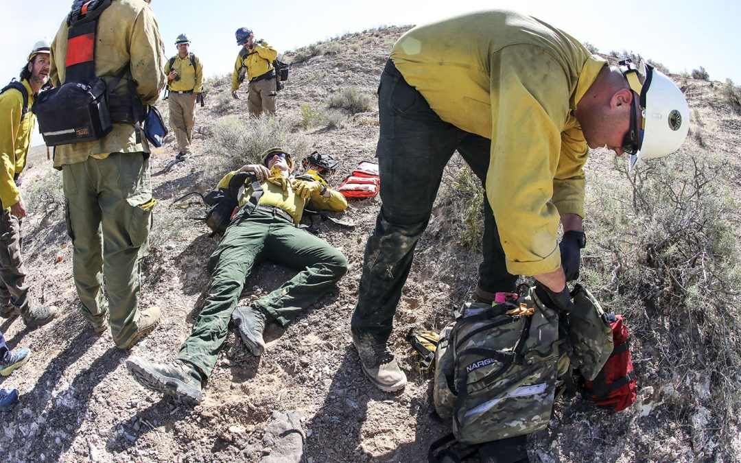
- WILDLAND FIREFIGHTING CERTIFICATES S-130/190, L-180
- FAA PART 107 Since 2017
- OSHA 30 AND HAZWOP certified
- DUNS: 839898728.
- FEIN: 84-2603642
- We accept all government agency purchase orders and credit cards.
SERVING ENVIRONMENTAL SERVICE INDUSTRIES, ENGINEERS AND AGENCIES BY USING PHOTOGRAPHY AS A FORCE FOR GOOD.


Recent Comments