A Thank-You to our Clients in 2023
2023:
Thanks to Our Clients
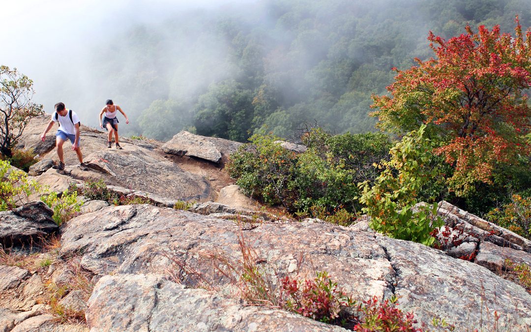
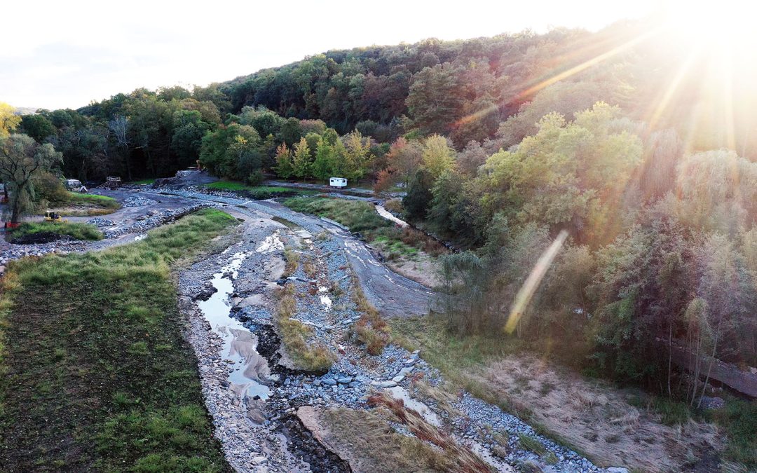
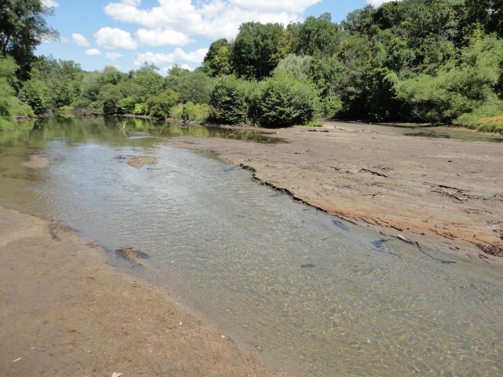
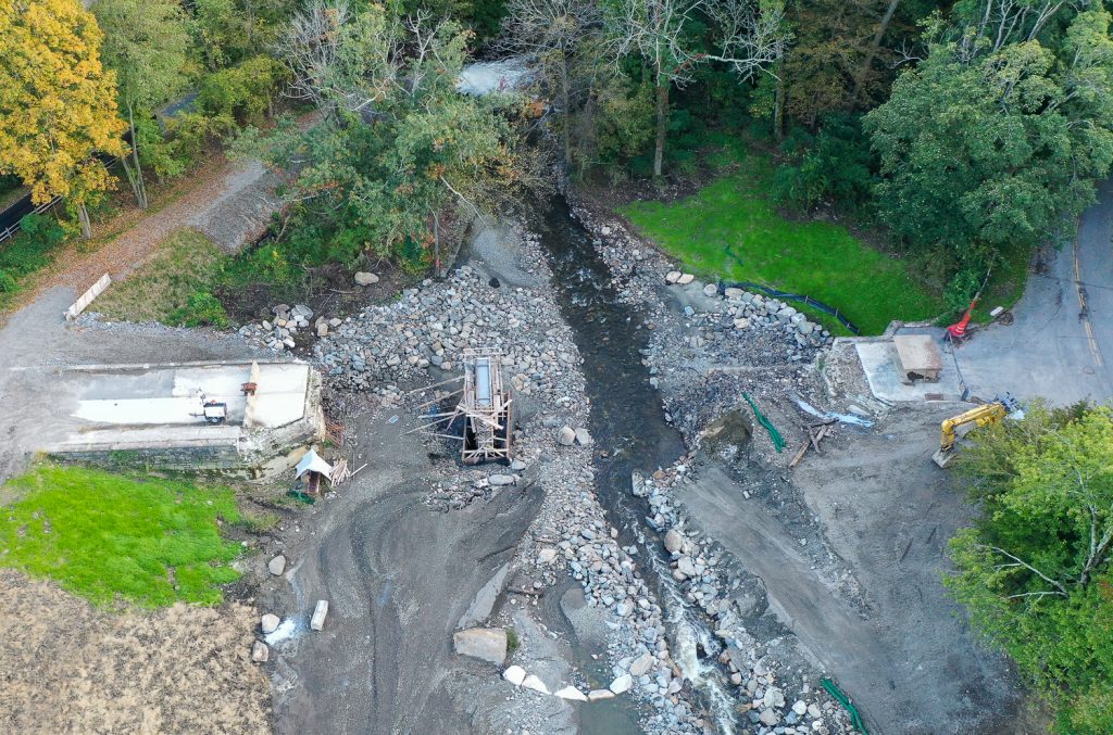
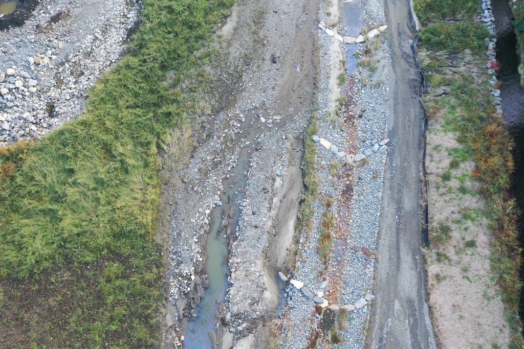
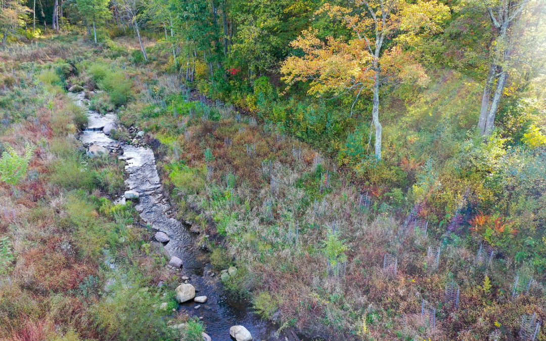
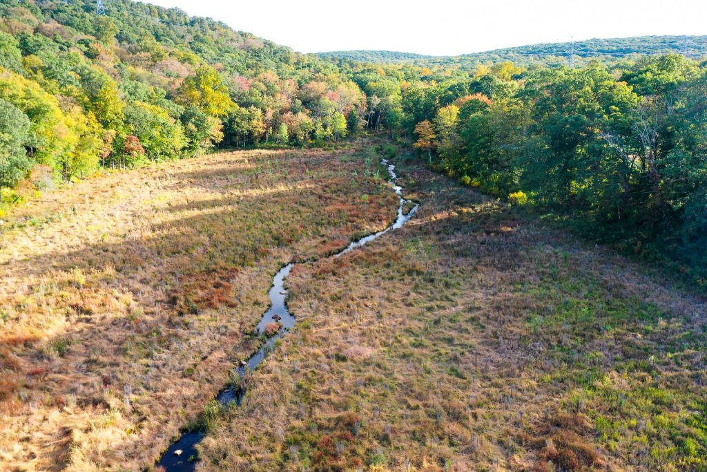
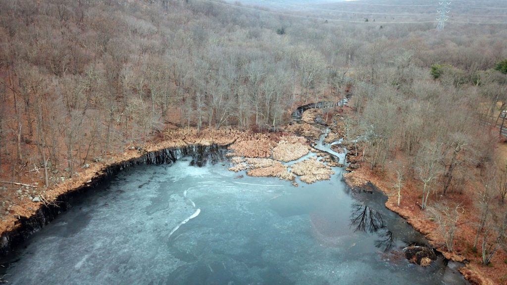
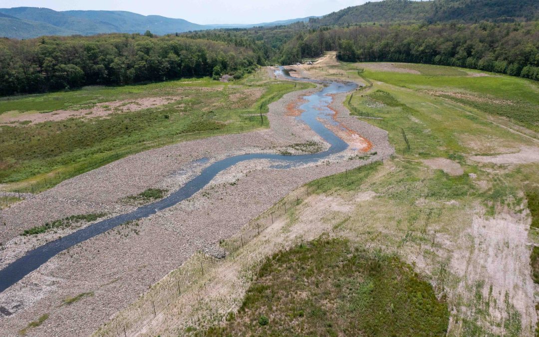
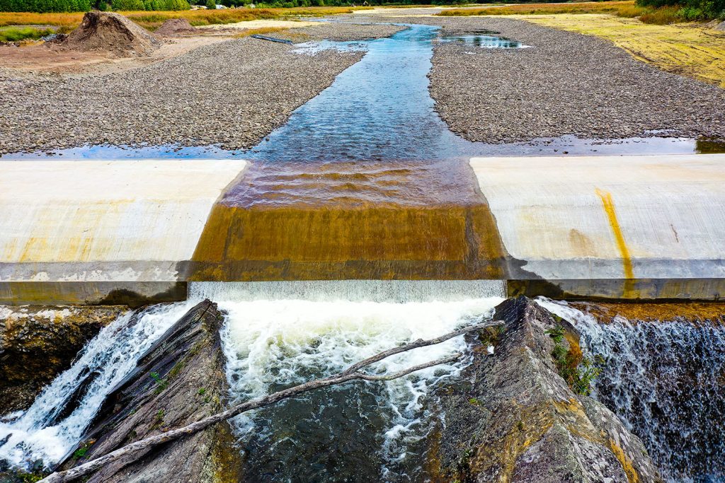
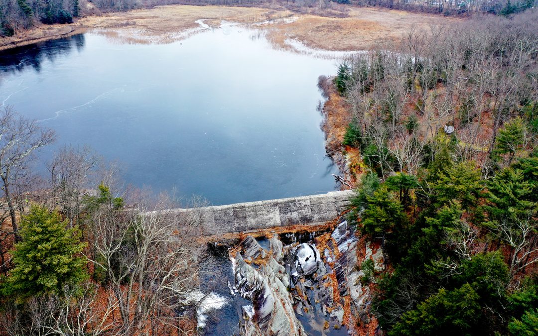
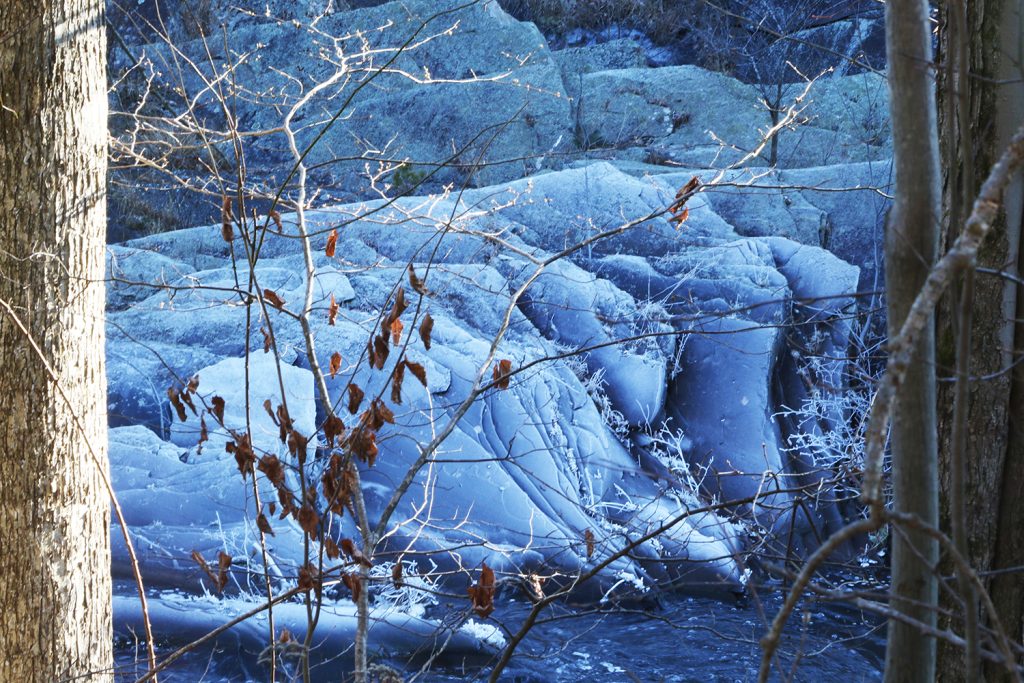
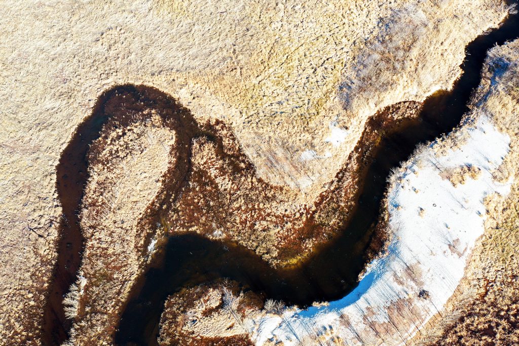
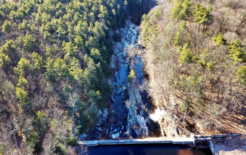
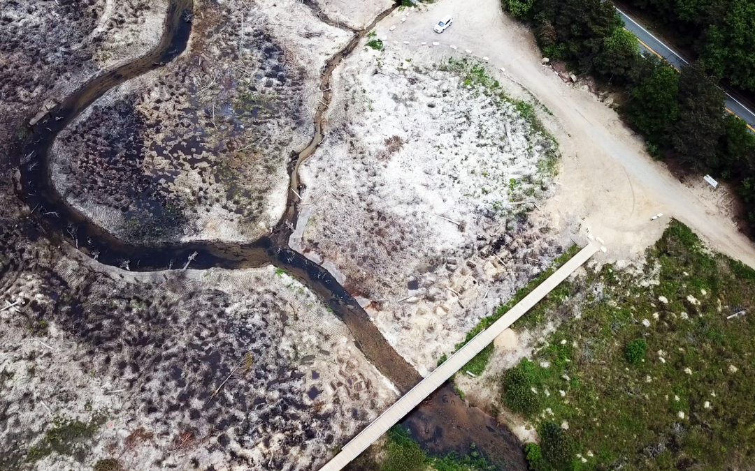
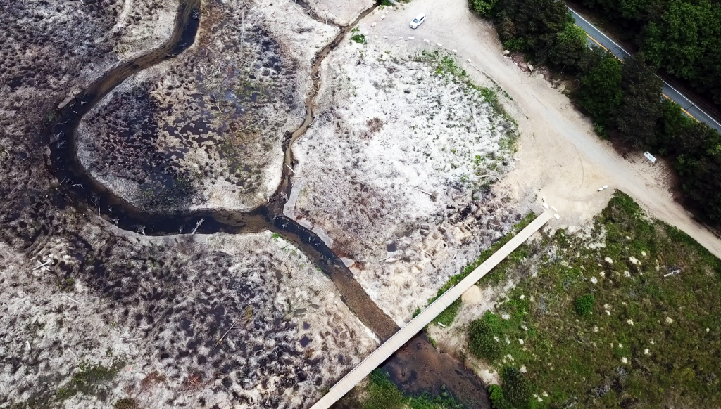
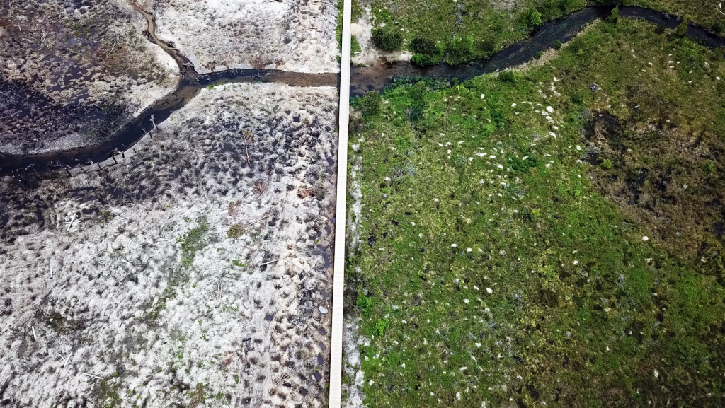
2023 was an outstanding year for environmental restoration and remediation projects across the US. We’re proud to have worked with some of the best!
What a great year! Allman Environmental Services Photography is grateful for our 2023 clients, new and continuing, as we photographed major infrastructure, remediation, dam removal, stream restoration and renewable energy projects. We’re proud of our niche in photography and videography, and of the companies we work for, and look forward to several new projects in 2024.
A. Servidone/B. Anthony Construction
Aventura
Ben Ciccone Inc
Bureau of Land Management/Department of the Interior
Caldwell Marine International
CNY Alliance
Gianfia Corp.
Hudson River Valley Greenway
Integrated Construction Enterprise
Kiewit
Lancaster Development, Inc.
LAND Remediation Inc.
Mark Cerrone Inc.
Michels Power
Perfetto Contracting Corp.
R. Pugni & Sons, Inc.
Rifenburg Contracting Corp.
T.A.M. Enterprises Inc.
Thomas Gleason Inc.
Triumph Construction
Upstate Companies Inc.
Villager Construction, Inc.
______________
If it’s outside, we’re in! We offer the quickest turnaround on photo and video submissions, contract paperwork and insurance documents, and we’re 100% reliable, flexible and on time, every time. We’d love to work on your next contract. -Suzanne
- CERTIFIED: SBA-certified WOSB, New York State- and City-certified WBE, and Port Authority certified DBE
- REGISTERED: SAM & ORCA. Experienced in Federal Government contracting and subcontracting.
- WILDLAND FIREFIGHTING CERTIFICATES S-130/190, L-180
- FAA PART 107 Since 2017
- OSHA 30 AND HAZWOP certified
- DUNS: 839898728.
- FEIN: 84-2603642
- We accept all government agency purchase orders and credit cards.
SERVING ENVIRONMENTAL SERVICE INDUSTRIES, ENGINEERS AND AGENCIES BY USING PHOTOGRAPHY AS A FORCE FOR GOOD.


Recent Comments